Overview
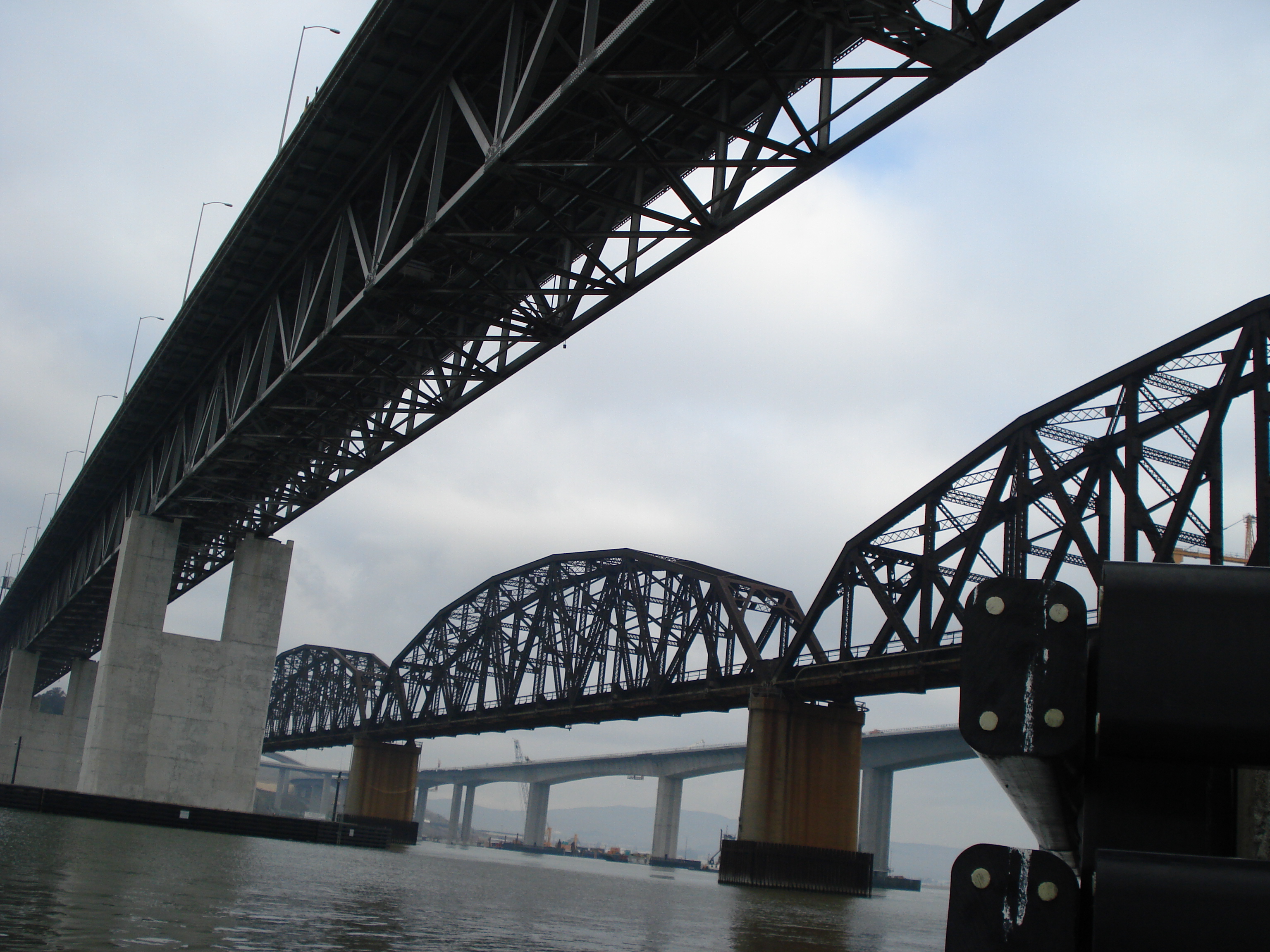
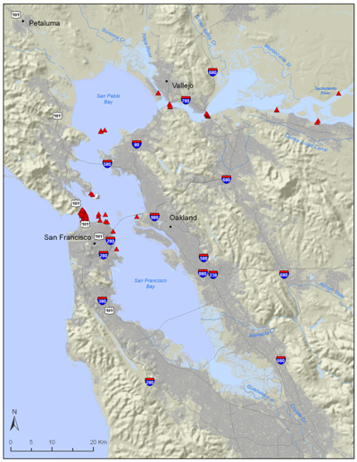
The San Francisco Bay Estuary is significantly wider and deeper than areas such as the Delta and Sacramento River, and is heavily influenced by tidal flow. There is a deep channel, exceeding 20 m in depth, which passes through the center of Grizzly, Suisun, and San Pablo Bays. Monitors have been placed at five choke points which fish must pass through when entering or exiting the estuary. These sites were chosen as monitor locations because the ranges of the monitors cover a greater percentage of the waterway than wider areas in the Bay. The first and second choke points consist of monitors attached directly to the Benicia and Carquinez Straits Bridges by UC Davis. The third crosswise array has been deployed by the US Army Corps of Engineers at the San Rafael Bridge, and the Bay Planning Coalition has attached a fourth array of monitors across the bay to the eastern side of the Bay Bridge. The last linear array, deployed by NOAA Fisheries, stretches across the bay just inside of the Golden Gate Bridge. In addition to these five key arrays, the US Army Corps of Engineers has deployed several pairs of monitors throughout the bay in dredged versus non-dredged sites to examine the impact of dredging on fish movements and migratory patterns.