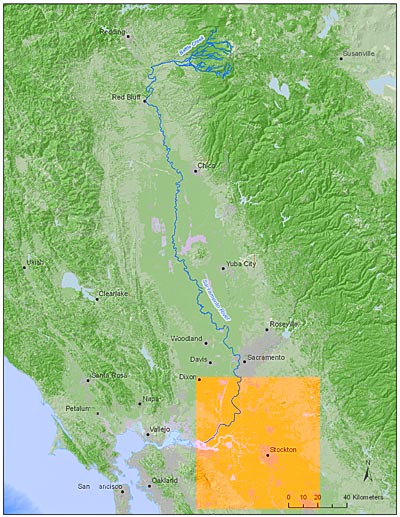
Overview
An array of ultrasonic tag-detecting monitors has been established throughout the Central Valley watershed encompassing the area from just above Battle Creek on the Sacramento River to the Golden Gate Bridge, including the Sacramento-San Joaquin Delta and Mekolumne River. This array is made up of over 150 monitors deployed by eight main organizations, UC Davis, NOAA/UC Santa Cruz, US Army Corps of Engineers, US Fish and Wildlife Service, California Department of Fish and Game, East Bay Municipal Utilities District, Bay Planning Coalition and Hanson Environmental. We have broken the study region into five smaller distinct study areas listed below.
Areas
Click on the following links to view the coverage area.
- Upper Sacramento River
- Middle Sacramento River
- Lower Sacramento River
- Sacramento/ San Joaquin Delta
- San Francisco Bay Estuary